Turcica, Volume: 51 ,2020, by Daniel OHANIAN, Mehmet Z. BAŞKURT, M. Erdem KABADAYI
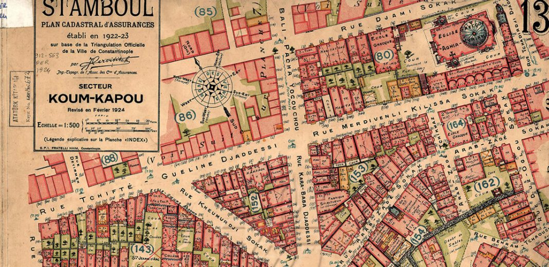
Abstract :The purpose of this article is to announce the publication of a partial transcription of the c. 1907 Ottoman census that relates to 24,000 Apostolic Armenian Istanbulites and of a historical geographic information system (HGIS), or interactive map, that shows where these individuals lived. Within this framework, the authors first present their argument that an unidentified, microfilmed population register housed in New York is the most substantial portion of this census currently available to researchers. In the second part of their article, they introduce HGISes as tools for the digital humanities and describe the process of creating one.
Le but de cet article est d’annoncer la publication d’une transcription partielle du recensement ottoman de circa 1907 qui concerne 24000 Arméniens apostoliques à Istanbul et d’un système d’information géographique historique (SIGH), ou carte interactive, qui montre où habitaient ces individus. Dans ce cadre, les auteurs présentent d’abord l’argument qu’un registre de population conservé à New York – microfilmé et non identifié – constitue la partie la plus considérable de ce recensement actuellement à disposition des chercheurs. Dans la deuxième partie de l’article, l’objectif est de présenter les SIGH comme des outils pour les humanités numériques et de décrire la création d’un tel système.
Share the post « “An Historical Geographic Information System for Ottoman Studies” by OHANIAN, BAŞKURT and KABADAYI »

